
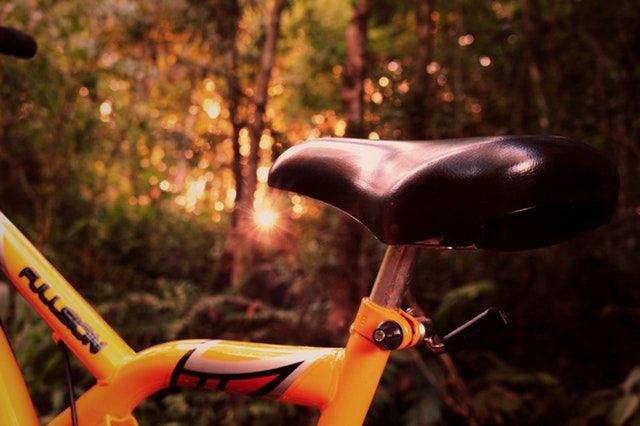
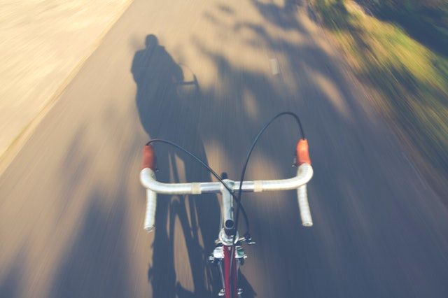


E-bike route
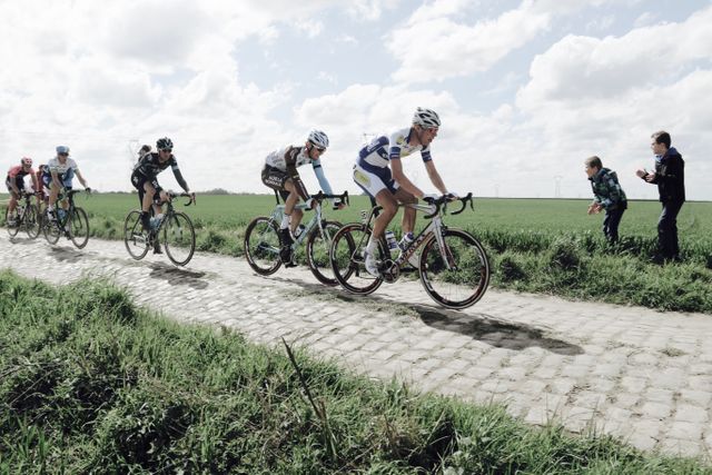
Racing
65.0 km
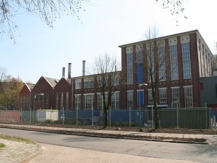
Drenthe Periphery Route 7 Valthe starts and ends at the sports hall in Valthe. The route has a length of 65 km and passes through Nieuw-Weerdinge, Gasselternijveen, Gieten, Gasselte, Drouwen, Borger, Exloo, Odoorn and Klijndijk—and back to Valthe again.
De Hondsrug – UNESCO Global Geopark
A huge ice mass swept through Drenthe 150,000 years ago. Large boulders were dragged along in it. The river flows under the ice generated hills (ridges) in the landscape. Drenthe Periphery Route 7 Valthe largely runs over the largest ridge of them all, De Hondsrug. Much of the history of the area—its essen (high-lying farmlands), rivers and dolmens, for example—is still visible in the landscape.
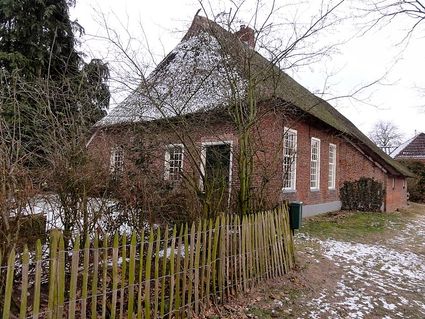
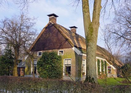
Brinkdorpen
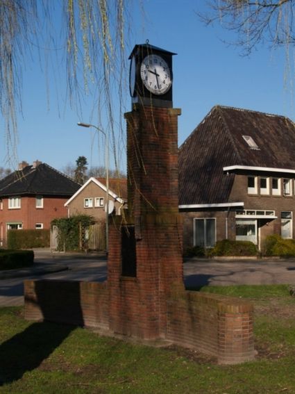
On this route, you pass through the brinkdorpen Valthe, Gieten, Gasselte and Exloo. Brinkdorpen were built in medie…
Drenthe Periphery Route 7 Valthe starts and ends at the sports hall in Valthe. The route has a length of 65 km and passes through Nieuw-Weerdinge, Gasselternijveen, Gieten, Gasselte, Drouwen, Borger, Exloo, Odoorn and Klijndijk—and back to Valthe again.
De Hondsrug – UNESCO Global Geopark
A huge ice mass swept through Drenthe 150,000 years ago. Large boulders were dragged along in it. The river flows under the ice generated hills (ridges) in the landscape. Drenthe Periphery Route 7 Valthe largely runs over the largest ridge of them all, De Hondsrug. Much of the history of the area—its essen (high-lying farmlands), rivers and dolmens, for example—is still visible in the landscape.
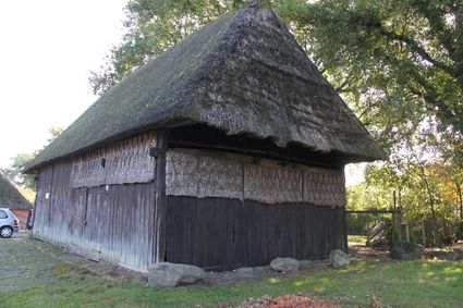
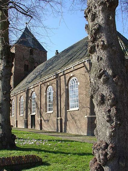
Brinkdorpen
On this route, you pass through the brinkdorpen Valthe, Gieten, Gasselte and Exloo. Brinkdorpen were built in medieval times—often atop a sandy ridge to remain dry. Each village had one or more squares; its brink. This was the centre of the village, around which houses and farms were built.
A lot of things went on on the brink. You would often find a dobbe, a deep hole filled with water, there. This water was used as drinking water for livestock, but also to wash clothes or extinguish fires. In the morning, livestock was gathered on the brink to graze outside of the village; they would return in the evening, after which the farmers would pick up their own animals. The brinkdorpen often have many remnants from the past: old farms, dirt tracks, the brink, the es (high-lying farmland) and sometimes a dobbe.
Starting points with parking options
There are multiple starting points for the route where you can park your car. This allows you to start the route from wherever you like.
Valthe: Near Hoofdstraat 29
Gasselternijveen: Havenkade/VV (Football Club) Gasselternijveen (300 m)/Hunzelaan
Gieten: Stationsstraat
Borger: Brink/Dorpsplein
Exloo: Town hall
Odoorn: Valtherweg
Klijndijk: Near roundabout
Part of Drenthe Periphery 255 km
This route is part of the route Drenthe Periphery 255 km, that runs along the border of the province of Drenthe. Within this long route, you can also pick and choose from among ten shorter routes—varying from 55 to 67 kilometres—or two routes of 135 and 170 kilometres.
Hoofdstraat 54
7872 PL Valthe
Navigate to starting point

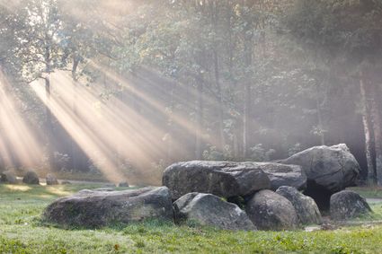
This dolmen stands at an intersection of forest paths. It was excavated in 1918 by the Groningen archaeologist Van Giffen. He found fragments of pottery outside the dolmen, a sign that people here used to make sacrifices or have meals for the dead.
Legend route description:
CR = crossroad
TL = turn left
KL = keep left
to. = towards
TJ = T junction
TR = turn right
KR = keep right
le. = left
ROU = roundabout
SA = straight ahead
CSA = continue straight ahead
ri. = right
TrL = traffic light