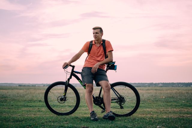
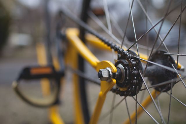

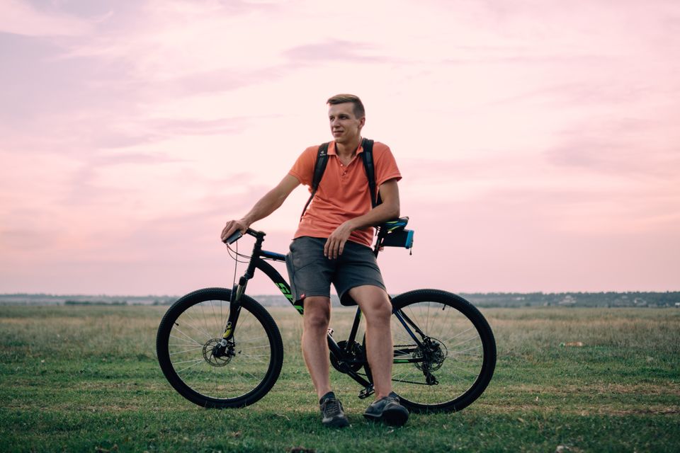


E-bike route
Racing
60 km ( 2 hour 36 minutes )
Drenthe Periphery Route 2 Hoogersmilde starts and ends at Pieter Hummelenbrug in Hoogersmilde, near Rijksweg 198. The route has a length of 60 km en passes through Oude Willem, Vledder, Frederiksoord, Havelte, Uffelte and Dwingeloo—and back again to Hoogersmilde.
Drents-Friese Wold National Park
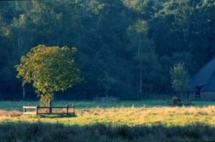
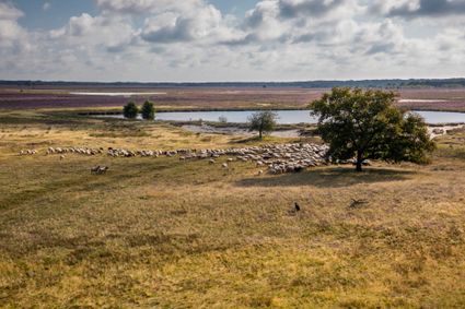
Lying on the border between Drenthe and Friesland, Drents-Friese Wold National Park is one of the largest nature areas in the Netherlands. The park consists of forests, heaths and drifting sands, and has been designated as a Natura2000 area.
Maatschappij van Weldadigheid
After Oude Willem and Vledder, you arrive in Frederiksoord.…
Drenthe Periphery Route 2 Hoogersmilde starts and ends at Pieter Hummelenbrug in Hoogersmilde, near Rijksweg 198. The route has a length of 60 km en passes through Oude Willem, Vledder, Frederiksoord, Havelte, Uffelte and Dwingeloo—and back again to Hoogersmilde.
Drents-Friese Wold National Park
Lying on the border between Drenthe and Friesland, Drents-Friese Wold National Park is one of the largest nature areas in the Netherlands. The park consists of forests, heaths and drifting sands, and has been designated as a Natura2000 area.
Maatschappij van Weldadigheid
After Oude Willem and Vledder, you arrive in Frederiksoord. This village originated with the Maatschappij van Weldadigheid (“Society of Humanitarianism”), a 19th-century project aimed at combating poverty in the Netherlands. The project founded agricultural colonies for “paupers.” Frederiksoord was one such colony. The name originates with the patron of the Society: Prince Frederick of Orange-Nassau. A lot of the area’s history can be observed in and around Frederiksoord.
Brinkdorpen
Via the beautiful brinkdorpen (brinkdorpen are a type of village, built in medieval times—often atop a sandy ridge to remain dry) Havelte, Uffelte and Dwingeloo, you return to Hoogersmilde.
Starting points with parking options
There are multiple starting points for the route where you can park your car. This allows you to start the route from wherever you like.
Hoogersmilde: Centrum Hoogersmilde (“Hoogersmilde centre”), Schultestraat or campsite De Reeënwissel, Bosweg 10a Hoogersmilde
Vledder: Car park Schapendrift
Frederiksoord: Roundabout Majoor van Swietenlaan
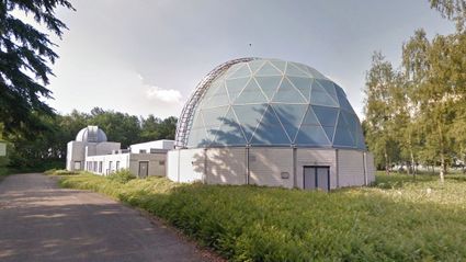
Havelte: Car park Papiliorama, Van Helomaweg
Uffelte: VV (Football Club) Uffelte Ruiterweg
Dwingeloo: Car park Westend or car park De Brink
Beilen: Ossebroeken (not along the route)
Part of Drenthe Periphery 255 km
This route is part of the route Drenthe Periphery 255 km, that runs along the border of the province of Drenthe. Within this long route, you can also pick and choose from among ten shorter routes—varying from 55 to 67 kilometres—or two routes of 135 and 170 kilometres.
P.H. Brug
9423 PD Hoogersmilde
Navigate to starting point
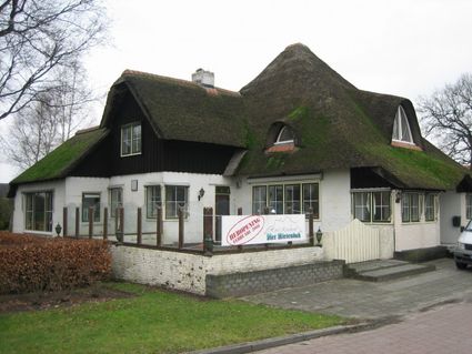
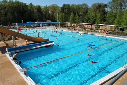
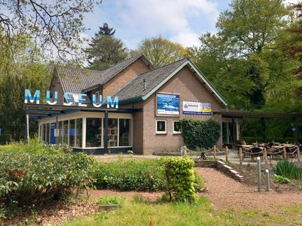
The most colourful day out! Enjoy the exotic, colourful flying jewels of nature in a specially created piece of tropical jungle. That is Butterfly Paradise ‘Papiliorama’
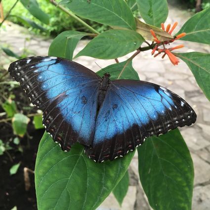
Vlinderparadijs Papiliorama
van Helomaweg 14
7971PX Havelte
Legend route description:
CR = crossroad
TL = turn left
KL = keep left
to. = towards
TJ = T junction
TR = turn right
KR = keep right
le. = left
ROU = roundabout
SA = straight ahead
CSA = continue straight ahead
ri. = right
TrL = traffic light