


E-bike route
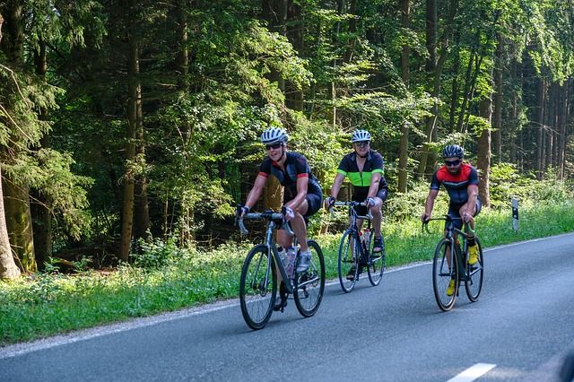
Racing
135 km ( 5 hour 52 minutes )
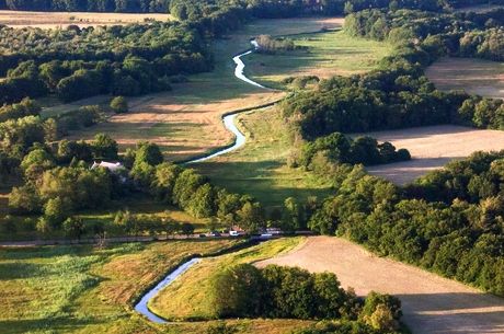
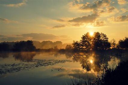
Drentsche Aa
This stream runs through the provinces of Groningen and Drenthe, and is considered to be the only stream in the Netherlands that has maintained its original curves and loops. Nationaal Beek- and Esdorpenlandschap (“National Stream and Esdorpen Landscape”) Drentsche Aa is a beautiful national park featuring bodies of water, hedgerows, heathlands, sandy soil and brinkdorpen (villages with a traditional layout around a village green or square). Cycling here, you cycle through exquisite landscape and age-old villages and over beautiful bridges!
Brinkdorpen
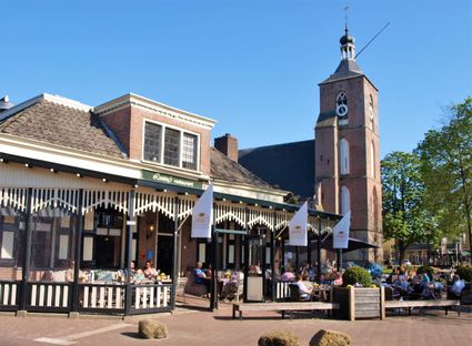
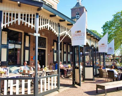
On this route, you pass through many brinkdorpen: Rolde, Anderen, Eext, Gieten, Gasselte, Exloo, Oosterhesselen, Gees, Ruinen, Dwingeloo and Hijken. Brinkdorpen were built in medieval times—often atop a sandy ridge to remain dry. Each village had one or more squares; its brink. This was the centre of the village, around which houses and farms were built.
A …
Drentsche Aa
This stream runs through the provinces of Groningen and Drenthe, and is considered to be the only stream in the Netherlands that has maintained its original curves and loops. Nationaal Beek- and Esdorpenlandschap (“National Stream and Esdorpen Landscape”) Drentsche Aa is a beautiful national park featuring bodies of water, hedgerows, heathlands, sandy soil and brinkdorpen (villages with a traditional layout around a village green or square). Cycling here, you cycle through exquisite landscape and age-old villages and over beautiful bridges!
Brinkdorpen
On this route, you pass through many brinkdorpen: Rolde, Anderen, Eext, Gieten, Gasselte, Exloo, Oosterhesselen, Gees, Ruinen, Dwingeloo and Hijken. Brinkdorpen were built in medieval times—often atop a sandy ridge to remain dry. Each village had one or more squares; its brink. This was the centre of the village, around which houses and farms were built.
A lot of things went on on the brink. You would often find a dobbe, a deep hole filled with water, there. This water was used as drinking water for livestock, but also to wash clothes or extinguish fires. In the morning, livestock was gathered on the brink to graze outside of the village; they would return in the evening, after which the farmers would pick up their own animals. The brinkdorpen often have many remnants from the past: old farms, dirt tracks, the brink, the es (high-lying farmland) and sometimes a dobbe.
Starting points with parking options
There are multiple starting points for the route where you can park your car. This allows you to start the route from wherever you like.
Assen: Car park Stadsbroek
Rolde: Brinkstraat
Eext: Anderenseweg
Gieten: Stationsstraat
Borger: Dorpsplein
Exloo: Town hall
Klijndijk: Rouonde
Sleen: Banner Schultsestraat
Oosterhesselen: Burg. De Kokstraat
Tiendeveen: Molenweg
Hoogeveen: Parking place Middelveldsweg
Ruinen: Oosterstraat
Dwingeloo: Brink
Part of Drenthe Periphery 255 km
This route is part of the route Drenthe Periphery 255 km, that runs along the border of the province of Drenthe. Within this long route, you can also pick and choose from among ten shorter routes—varying from 55 to 67 kilometres—or two routes of 135 and 170 kilometres.
Kortbossen 5
9405 BM Assen
Navigate to starting point
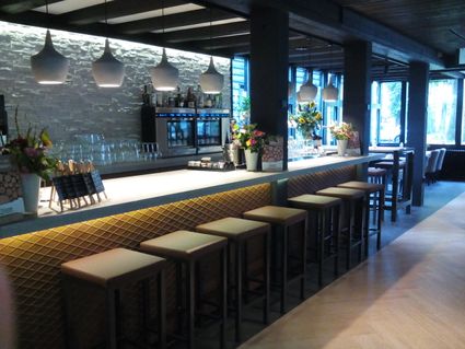
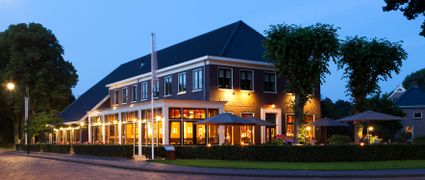
Located directly next to one of the oldest woodlands of the Netherlands and close to the historic city centre of Assen, you'll find fourstar hotel De Bonte Wever.
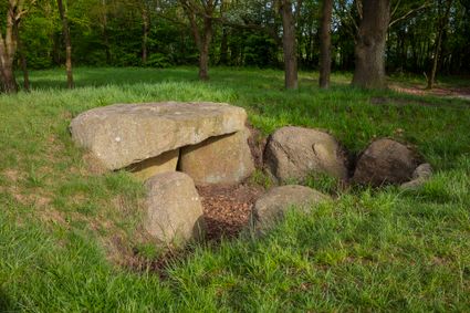
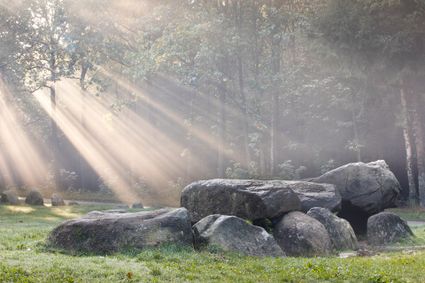
This special dolmen is unique, because it’s partly covered under its sand slope. You can access the dolmen with the small stairs, partly covered by the sand as well.
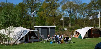
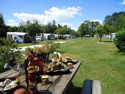
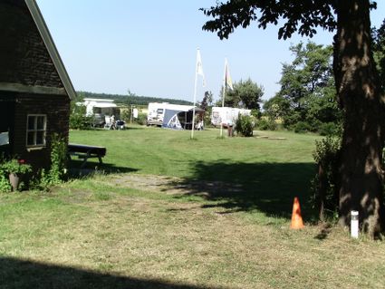
Our pleasant family campground can be found at the centre of the Hondsrug in the province of Drenthe, on the edge of the gorgeous nature reserve ‘Het Drouwenerzand’.
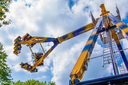
Drouwenerzand is the most affordable amusement park in Europe! NEW in 2018 is the spectacular attraction Freak Out.
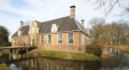
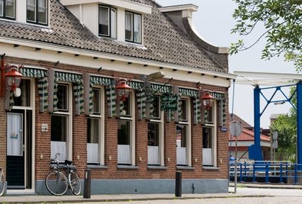
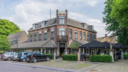
A great deal has changed since the hotel was rebuilt in 1969 following a major fire: one thing that hasn’t changed is the name. Hotel Bieze as you see it now opened its doors on 28 March 2015.
This dolmen stands at an intersection of forest paths. It was excavated in 1918 by the Groningen archaeologist Van Giffen. He found fragments of pottery outside the dolmen, a sign that people here used to make sacrifices or have meals for the dead.
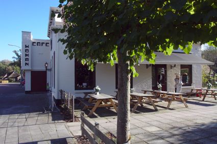
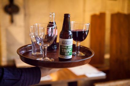
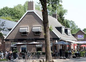
Café Troost is the local pub for Noordscheschut and the surrounding villages.
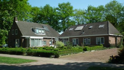
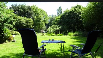
BenB Hertenhoef consists of 4 luxurious and rustic accommodations. (2 coach houses and 2 lodges, all with their own entrance, air conditioning, terrace, kitchen unit, box spring beds, smart TV. Coach houses have a garden room / wood stove. (1 with sauna)
B&B Hertenhoef Fluitenberg
Fluitenbergseweg 50
7931TB Fluitenberg

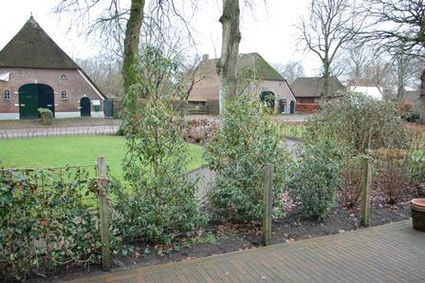
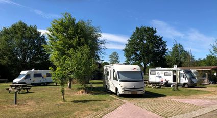
At Landgoed Meistershof you can enjoy the beautiful nature with your camper or caravan. At Landgoed Meistershof, all facilities are available for an unprecedented stay. From heated sanitary facilities to waste water, everything has been thought of.
Legend route description:
CR = crossroad
TL = turn left
KL = keep left
to. = towards
TJ = T junction
TR = turn right
KR = keep right
le. = left
ROU = roundabout
SA = straight ahead
CSA = continue straight ahead
ri. = right
TrL = traffic light