Arnica

(61.0 km)

  • Download
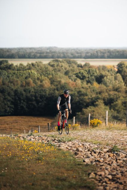
  • The 60-kilometre ‘Arnica’ cycling route takes you to the VAM mountain, through Siberië, into magnificent nature areas and sand drift areas, and near the smallest house in Drenthe. This cycling route is named after the Arnica plant, also known as wolf’s bane, a plant typically found in Drenthe.

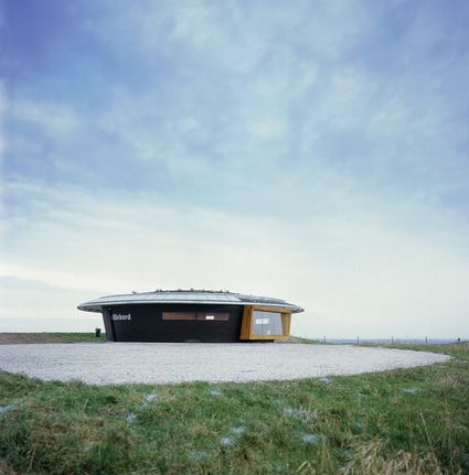
    Before starting your route, it is a good idea to climb the VAM mountain to visit Information Centre De Blinkerd at the top. Here, you can admire the splendid views from the highest point in Drenthe at 56 metres above sea level.

    Th…

    The 60-kilometre ‘Arnica’ cycling route takes you to the VAM mountain, through Siberië, into magnificent nature areas and sand drift areas, and near the smallest house in Drenthe. This cycling route is named after the Arnica plant, also known as wolf’s bane, a plant typically found in Drenthe.

    Before starting your route, it is a good idea to climb the VAM mountain to visit Information Centre De Blinkerd at the top. Here, you can admire the splendid views from the highest point in Drenthe at 56 metres above sea level.

    The cycling route takes you right into the Boerenveensche Plassen, a large open heathland with ponds and peat bogs, through the hamlet of Zwartschaap towards the region of Siberië. The route leads through the villages of Nieuw-Balinge, Gees and Meppen, past the breath-taking Gees forestry area and the sand drifts at Mepperdennen and Mantingerzand. You might even hear the call of the golden oriole at the Vossenberg country estate before making your way back to the VAM mountain.

    The cycling route starts at the car park for Information Centre De Blinkers (VAM mountain) at the Vamweg 5, 9418 TM Wijster. Parking at the centre is free of charge. Leave the car park and cycle towards Hub point 21, where you can join the Arnica route. It is also possible to join the route at other locations by following the signs.

    Sights on this route

    Starting point: Vamweg 5
    9418 TM Wijster
    1

    Do you want to test your climbing skills? Drenthe is a great place to do so nowadays. A brand new cycling course on the VAM-berg opened in October 2018, and it is a true climbing heaven for athletic...

    VAM-berg (VAM Hill)
    22
    21
    2

    3

    20
    4

    39
    5

    Shortly after Van Gogh arrived in Drenthe, forests were planted here as an investment by the owner of the Kremboong sugar factory on Java.
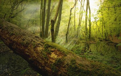
    Nature Kremboong
    6

    23
    24
    18
    66
    83
    81
    7

    86
    8

    88
    88
    9

    69
    61
    10

    60
    64
    11

    12

    62
    10
    13

    25
    40
    47
    14

    End point: Vamweg 5
    9418 TM Wijster

    Directions

    Starting point: Vamweg 5
    9418 TM Wijster
    • This cycling route is named after the Arnica plant, also known as wolf’s bane. Arnica has yellow flowers similar to daisies. Historically, arnica is a plant often found in Drenthe and it used to be commonplace on limey heathlands, in meadows and grassy brook valleys. Due to extraction, acidification and harvesting the plant for use in homeopathic medicine, arnica is rare nowadays.
    • The cycling route starts at the car park for Information Centre De Blinkers (VAM mountain). It has been possible to visit the ‘highest mountain’ in Drenthe since the summer of 2001. This mountain is a waste mountain of former limited company Vuilafvoer Maatschappij or VAM (Waste Disposal Company). Information Centre De Blinkerd is the small building on top of the mountain that looks like a flying saucer. Inside, there is information on the formation and development of the landscape around the Oude Diep brook, as well as information on waste processing and the water management of a brook valley system. The top of the mountain (56 metres above sea level) offers fantastic views.
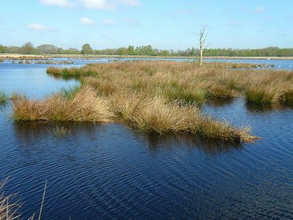
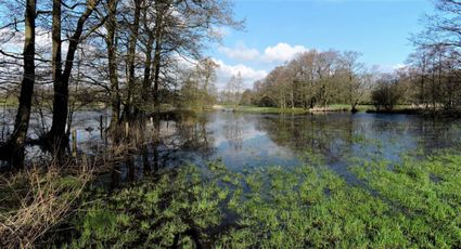
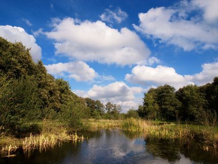
    • Leave the car park and cycle towards Hub point 21, where you can join the Arnica route. The route leads you through the rural area of Pesse, towards the Boerenveensche Plassen, a 147-hectare heathland with ponds and peat bogs. This area often stays very wet after winter, as several drainage ditches were reclaimed in the past and the subsoil contains lots of clay. One resulting benefit is the fact that this area is rich in rare plants, such as marsh gentian, marsh club moss, arnica and sundew. The site is also an interesting nesting site for birds, including breeding pairs of little grebes, great crested grebes and common teals.
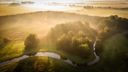
    • The route crosses the Oude Diep brook, with great views across the brook valley. Just off the cycling route, along the Secteweg near Stuifzand, is the smallest house in Drenthe. It was originally a turf hut for a family of peat diggers. The little house, made of stone by now, was threatened with demolition in 1998. It was saved and restored thanks to the intervention of the foundation Het Drentse Landschap and is now used as a holiday cottage.
    • The route passes the hamlet of Zwartschaap, where number 11 is a small wooden church by the name of Bethel, meaning House of God.
    • Just along the way, the route leads onto Siberië. Siberië, a region with a road by the same name, is home to several farmsteads: legend has it that these were in such a remote and desolate spot that it reminded people of the harsh and terrible experiences of Napoleon during his travels to Russia. However, old maps from that time make no mention of the region yet.
    • Along the Siberië road there is Kremboong, a remnant of the wooded area that was planted around 1900 for logging. Most of it was cut down in 1938 to make way for agriculture. The remainder is now known for its many mushrooms and the dense undergrowth of lingonberries and blueberries. The name ‘Kremboong’ is derived from the first owner, Frederik’s Jacob, who named it after his sugar cane plantation Kremboong (bamboo shoot) in Soerabaja on Java in Indonesia.
    • The route now takes you through the village of Nieuw-Balinge. The forestry area of Gees is home to a heathland by the name of De Hooge Stoep. This region lies more than 2 metres above the surrounding area. This sandy ridge functioned almost as a bridge (= stoep) among bogs and marshes. However, the soil was vulnerable to drifting and the drifting sand penetrated ever further into the brook valley. The Dutch Forest Management Agency was successful in taming this drift by creating hedgerows and planting trees. Planting for the National Forest was started in 1922. A number of peat bogs were spared in the process.
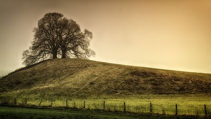
    • De Klinkenberg is situated near the route. This curious elevation rising from the flat landscape is manmade. The story goes that the ‘Clinkers or Klenkers’ wanted to establish a castle here before they eventually built the manor house De Klencke in Oosterhesselen. This castle was to be a motte-and-bailey castle, a moated hill with a (wooden) residential tower on top. The spot was a good choice, because this was were the old road from Coevorden to Ruinen crossed the brook valley. The road and the hinterland could then have been controlled from the motte-and-bailey castle.
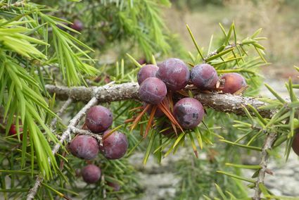
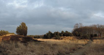
    • The route continues through the lovely village of Gees, through Meppen and the sand drift area De Mepperdennen and towards the Mantingerveld. The Balingerzand and Mantingerzand are famous for their drift sand hills and juniper thickets. Juniper trees are an odd sight. Most people are unfamiliar with it, unlike the resulting beverage, jenever (gin). In olden times of poverty and misery, jenever was the drink of the people. In the 13th century, the oldest known Dutch name for the tree was Jeneuver or Jeniever. In other words: the drink derives its name from the berries that give it its flavour. Most of the juniper trees on the Mantingerveld are old; some have been there for over a hundred years.
    • The route passes De Vossenberg country estate. The 400-hectare estate was formed in 1915 and is home to various rare plants, including the heath spotted orchid and the greater yellow rattle. The common whitethroat and European stonechat are also regular visitors, and in spring, the song of the golden oriole can be heard in the older birch forest.
    • The route takes you back to the VAM mountain via Wijster. The ‘Arnica’ cycling route finishes here. Recharge your batteries in a local cafe or restaurant to reflect on this amazing cycling trip.
    End point: Vamweg 5
    9418 TM Wijster
    • 22
    • 21
    • 20
    • 39
    • 23
    • 24
    • 18
    • 66
    • 83
    • 81
    • 86
    • 88
    • 88
    • 69
    • 61
    • 60
    • 64
    • 62
    • 10
    • 25
    • 40
    • 47